Wake · Johnston · Harnett Counties, NC
Snowdowne Aerial Solutions provides precision drone inspections for homeowners, contractors, and property managers — built around thermal imaging and a meticulous eye for detail.
What We Do
From precision thermal scans to polished aerial footage, Snowdowne Aerial Solutions brings the right tool to every job.
Heat doesn't lie. Our thermal-equipped drones surface what's invisible to the eye — moisture intrusion, insulation gaps, and electrical hot spots — before they become expensive problems.
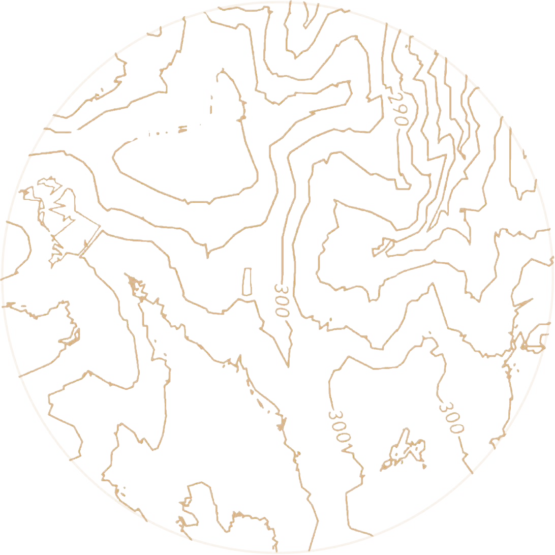
High-resolution aerial captures processed into accurate maps, models, and measurements — useful for site planning, progress tracking, and property documentation.
Smooth, cinematic drone video for real estate listings, construction progress, events, and marketing.
High-resolution still photography from above — for listings, portfolios, or simply seeing a property from a new perspective.
As Snowdowne Aerial Solutions grows, expect even more aerial assessment and inspection capabilities across the Triangle area.
Why Snowdowne
We're a locally owned operation, and every flight is planned, flown, and reported on with the same standard: deliverables you can act on, not just pretty footage.
Service Area
Snowdowne Aerial Solutions is based at the heart of Wake, Johnston, and Harnett counties — and flies throughout all three.